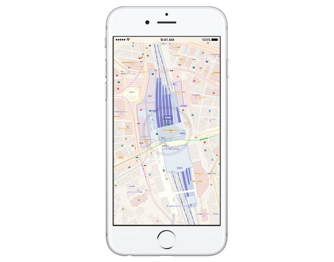
Recently it was confirmed in an updated that the local transit data of Apple Maps is said to touch Japan with the launch of the iOS 10 with this, the reach of the Apple feature is said to now expand to Asia. This was one of the headlines that could be seen in a Japanese website. It is said that the addition of the upcoming feature will be available in the iOS 10’s Japanese version.
This fall, the official debut of Apple maps is said to come along with the operating systems of the next generation of Apple. This includes the watchOS 3 and macOS Sierra. Now the options of public transport in Japan can be searched easily along with the maps to the subway station and even fare comparison and a lot other features that will come along with it.
Ata Distance’s blog has also noted the features screenshots wherein Tokyo’s Shinjuku Station could be seen through the bird’s eye view. Along with that, the exit and entrance locations and the train lines could also be seen through this, it could easily be suggested that the availability of the service will include the capital of Japan. ‘
Considering the fact that the feature was also part of the iOS 9 which had been launched last year, the roll out of the service is said to be slow. Presently there is a limited availability of the service which includes a few U.S large metropolitans and selected cities in Mexico, Germany, England, China, Canada, Brazil and Australia. In the list of supported countries, Japan is yet to make its place.
Data is aggregated by Apple Maps through the Transit option and with the help of sources outside, the necessary information is provided to the users. This includes the information of the route, the timings of departure as well as various other details pertaining to ferries, trains, buses and more.


